JAPOW VANS
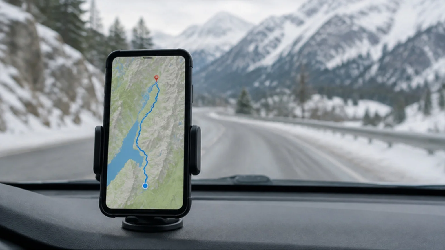
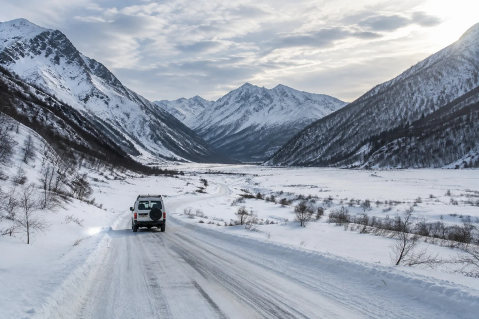
Japan's cell networks cover population centers and most main roads reliably, but mountain passes, valleys, and some rural approach roads to ski resorts can still have patchy or no signal. If your navigation depends entirely on a live data connection, a dead zone at the wrong moment means losing your route exactly when you need it most — typically on a winding, unfamiliar road. The fix is simple preparation, done before you lose signal, not during.
Download your route before you leave coverage
Google Maps and most major navigation apps let you download a map area for offline use. Before setting out on any leg that crosses mountain terrain:
- Search and preview your destination while you still have a strong connection.
- Download the map area covering your full route, not just the destination point — include a wide enough margin that a detour or wrong turn doesn't take you outside the downloaded area.
- Confirm turn-by-turn navigation still works in airplane mode before you actually need it, as a quick test.
Offline downloads cover the map, not live traffic. Once offline, you'll still get route guidance and your GPS position (GPS itself doesn't need cell signal), but you won't get live traffic updates or be able to search new destinations until you're back in coverage. Plan your stops before you lose signal.
Other low-signal backups
- A physical sense of the route: glance at the overall route shape (which highway, which exit number, roughly how many turns) before you set off, so a brief loss of guidance doesn't leave you lost.
- A paper map or printed directions: old-fashioned, but it never runs out of battery or loses signal, and it's worth having as a last resort for a specific resort approach.
- Portable Wi-Fi or a local SIM with wide rural coverage: helps in towns and valleys, though it won't fix every dead zone on a pass itself.
Where signal is most likely to drop
Based on general mountain-terrain patterns, expect the weakest signal on high passes, in deep valleys surrounded by ridgelines, and in tunnels. Signal is most reliable in towns, near ski resort base areas, and along major expressways. For the driving technique that matters most on these same passes, see our mountain pass driving guide.
Cell coverage varies by carrier and changes over time as networks expand. This guide describes a general pattern, not a guarantee for any specific route or carrier.